
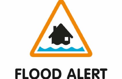
More than 15 flood alerts have issued ahead of tonight's forecast rain.
The Environment Agency issued the flood alerts after torrential rain showers throughout Christmas Day and overnight, which could cause rivers to burst their banks.
The areas issued with flood alerts are River Wye in Herefordshire, River Lugg south of Leominster, River Frome in Herefordshire, River Arrow in Herefordshire, Upper Teme, Ledwyche Brook and River Rea, River Worfe, River Salwarpe, Barbourne Brook, Bow and Piddle Brook, River Avon in Worcestershire, Rivers in South Worcestershire, Rivers in North Gloucestershire, River Leadon Catchment, Rivers in the Forest of Dean.
Dave Throup from the EA says with the ground saturated - many rivers are expected to respond quickly.
We’ve issued 15 Flood Alerts across #shropshire #herefordshire #worcestershire #gloucestershire ahead of tonight’s forecast rain. Ground saturated & rivers expected to respond quickly.
— Dave Throup (@DaveThroupEA) December 26, 2017
More may be needed overnight. https://t.co/lay6cxAT3K pic.twitter.com/HHfwR4yVZJ
This Evening and Tonight: There will be persistent rain through much of the evening, with heavy bursts. This may turn to sleet or snow, and could settle in some areas. This is especially likely over high ground, where significant accumulations are possible. Minimum temperature 0 °C.
Wednesday: Any remaining rain, sleet and snow will quickly clear Wednesday morning, leaving a dry, windy and colder day with some bright or sunny spells. The odd wintry shower is possible. Maximum temperature 5 °C.
Keep it with Sunshine Radio for the latest news, travel and weather.
 Plans for re-homing centre for retired dolphins
 Revealed: The main roads in Herefordshire prioritised for repairs
 Appeal to find missing Monmouthshire man
 Man arrested in connection with stabbing incident
 New Food and Drink group launched at online event